Zoom Property
Introduction
The zooming feature enables you to zoom in and out of the map to show in-depth information. It is controlled by the Zoom property of the map. When the zoom level of the Map control is increased, the map is zoomed in. When the zoom level is decreased, then the map is zoomed out. We can set the alignment of the zoom.
Prerequisites
To Change the Formatting Property of the Geo Map, you need working Datasets with country or state names.
Objective
How to Use Zoom Properties in Geo Map.
Download Pipeline.zip file from the link given WorldMapDataset.zip
To know more about creating Geo Map Click here
Follow steps to change Zoom Properties of Geo Map in AIV:-
- Click on the hamburger icon.
![]()
Click on the Dashboard tab and open Map in edit mode.
The Edit menu box appears as you click on the Map icon. And a widget gets added in content place automatically in the dashboard, As shown in Figure below:
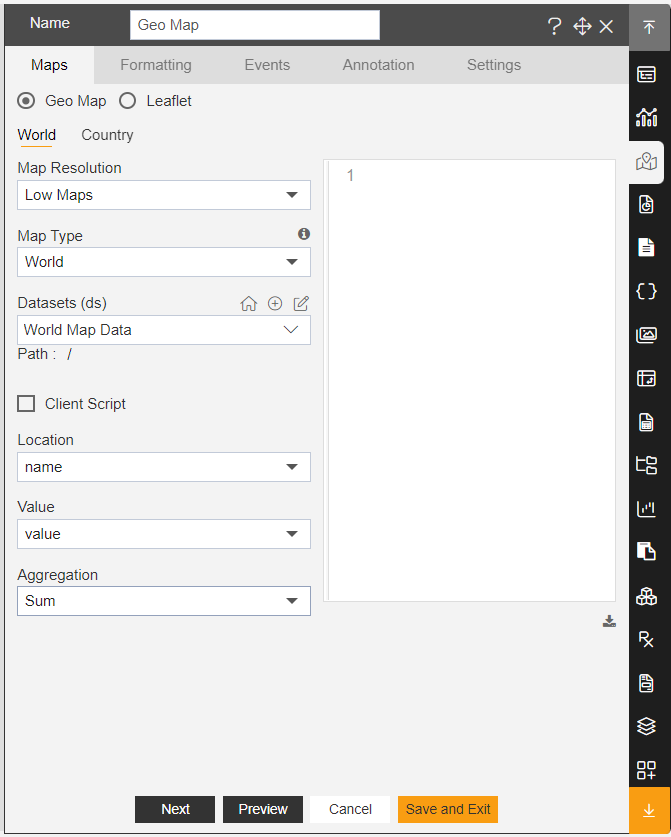
Create a Geo Map with World Map Dataset, as shown in the figure below:
- In Formatting Property click on Maps Setting, as shown in the figure below:
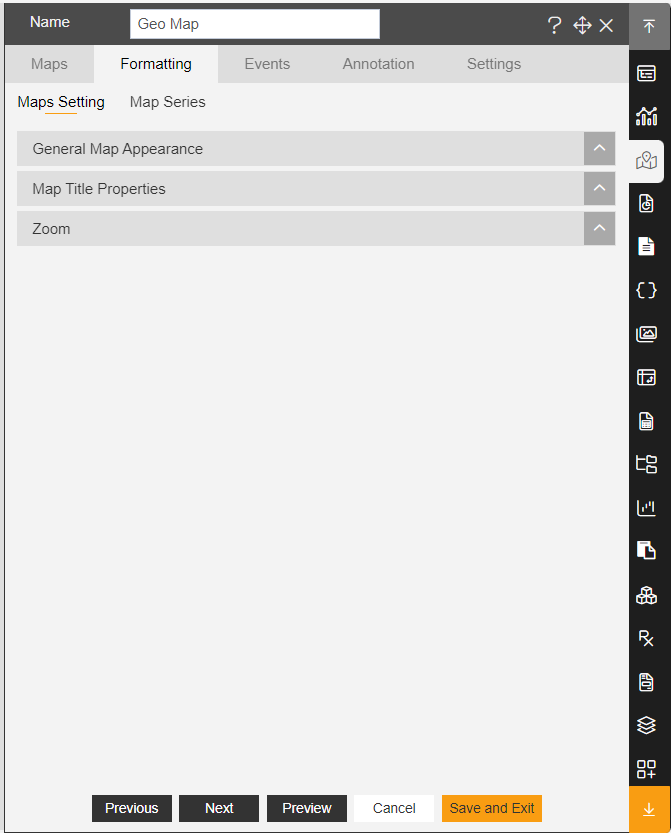
In Maps Setting click on Zoom Property.
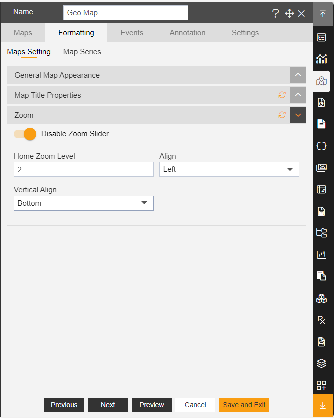
- Enter the Following details in Zoom Property:
Toggle Enable zoom Slider
Home Zoom Level: 2
Align: Left
Vertical Align: Bottom
- Fill above details in the edit box, As Shown in the figure:
Click on Preview and Save and Exit.
Now, match your Geo Map with the below example, it should look like the figure below:
To know more about other formatting properties of Map widgets click on the below links:-
General Map Appearance
Map Title Properties
In order to understand in detail about other features, click on the following links:-